| Item Detail |
| |
| |
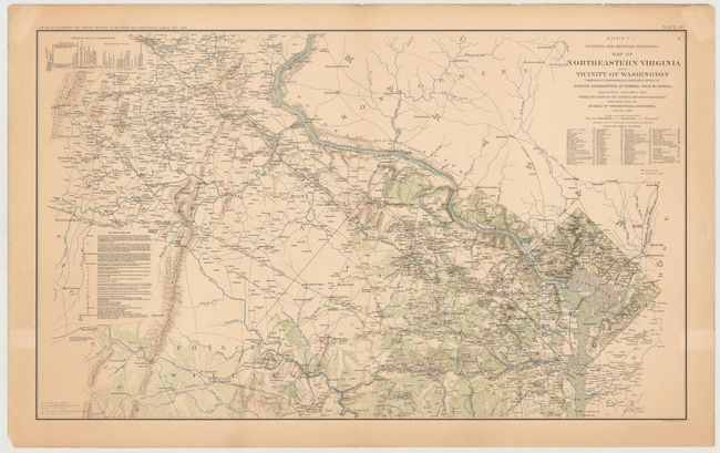
MapMaker: |
U.S. War Department
|
|
| |
| |
Subject: |
Northern Virginia, Washington DC, Civil War |
|
| |
Period/Size: |
1895 / 16.5" x 27.3" (42.0 x 69.4 cm)
|
|
| |
Color: |
Colored
|
|
| |
Condition: |
(B+) Light toning with a centerfold separation at top that just enters the map image and has been closed on verso with archival tape. A few edge tears in the blank margins have also been closed on verso with archival tape. (condition help) |
|
| |
Source: |
Atlas to Accompany the Official Records of the Union and Confederate Armies |
|
| |
References: |
|
|
| |
|
|
| Sales Information |
| |
| |
Price: |
|
|
| |
| |
Offered by: |
Old World Auctions |
|
| |
Catalog: |
Auction No. 146 - Antique Maps, Charts, Atlases & Globes (9225) |
|
| |
Lot/Item #: |
267 |
|
| |
| |
Date: |
09/2013
|
|
| |
| |
|