| Item Detail |
| |
| |
MapMaker: |
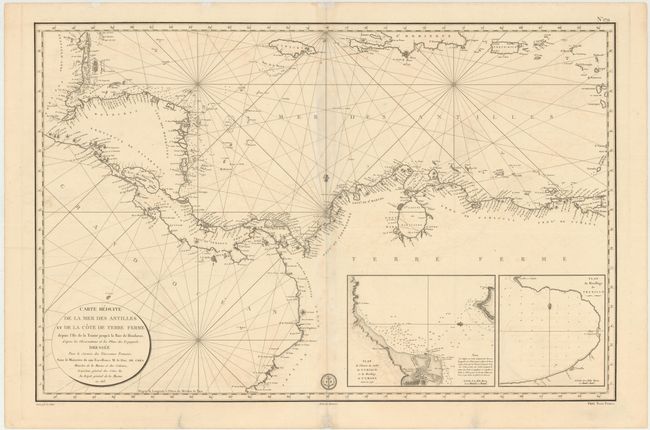
Depot de la Marine
|
|
| |
| |
Subject: |
Northern South America & Central America |
|
| |
Period/Size: |
1813 / 23.1" x 35.1" (58.7 x 89.2 cm)
|
|
| |
Color: |
Black & White
|
|
| |
Condition: |
(B+) There is light offsetting and soiling, faint toning along centerfold, and a 1" tear across centerfold in an unengraved area of map that has been closed on verso with archival tape. Overall very good condition for a map of this size. (condition help) |
|
| |
Source: |
|
|
| |
References: |
|
|
| |
|
|
| Sales Information |
| |
| |
Price: |
|
|
| |
| |
Offered by: |
Old World Auctions |
|
| |
Catalog: |
Auction No. 146 - Antique Maps, Charts, Atlases & Globes (9225) |
|
| |
Lot/Item #: |
335 |
|
| |
| |
Date: |
09/2013
|
|
| |
| |
|