| Item Detail |
| |
| |
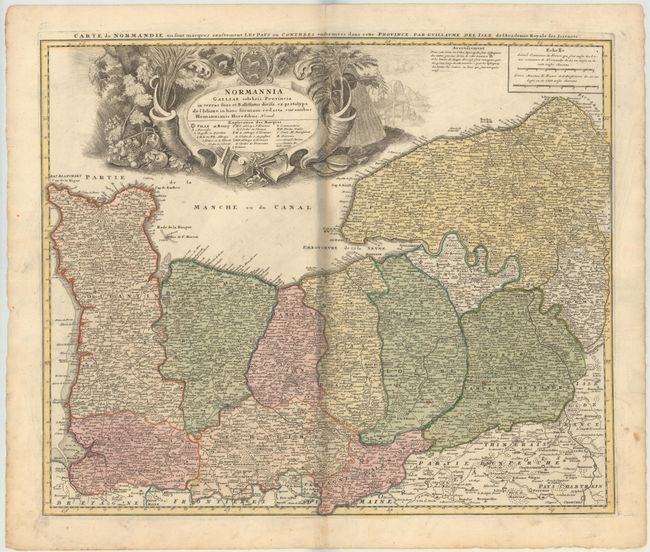
MapMaker: |
Homann Heirs
|
|
| |
| |
Subject: |
Northern France |
|
| |
Period/Size: |
1750 / 18.6" x 22.3" (47.3 x 56.7 cm)
|
|
| |
Color: |
Colored
|
|
| |
Condition: |
(B) Original color with minor toning along centerfold, a few spots in the image, and faint soiling. There is a printer's crease that runs adjacent to the centerfold and a small centerfold separation at top that does not enter the map. (condition help) |
|
| |
Source: |
|
|
| |
References: |
|
|
| |
|
|
| Sales Information |
| |
| |
Price: |
|
|
| |
| |
Offered by: |
Old World Auctions |
|
| |
Catalog: |
Auction No. 146 - Antique Maps, Charts, Atlases & Globes (9225) |
|
| |
Lot/Item #: |
494 |
|
| |
| |
Date: |
09/2013
|
|
| |
| |
|