| Item Detail |
| |
| |
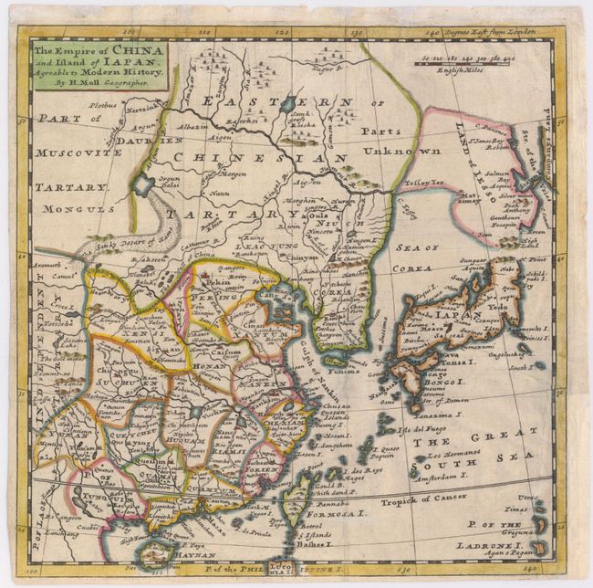
MapMaker: |
Herman Moll
|
|
| |
| |
Subject: |
China, Korea & Japan |
|
| |
Period/Size: |
1725 / 9.9" x 9.9" (25.2 x 25.2 cm)
|
|
| |
Color: |
Colored
|
|
| |
Condition: |
(B) Issued folding, now pressed on watermarked paper. Repaired 4" binding tear and binding trim replaced with paper to accommodate framing. Trimmed close to neatlines at left and bottom. (condition help) |
|
| |
Source: |
Modern History |
|
| |
References: |
McCorkle (18th C. Geography) #346-1. |
|
| |
|
|
| Sales Information |
| |
| |
Price: |
|
|
| |
| |
Offered by: |
Old World Auctions |
|
| |
Catalog: |
Auction No. 146 - Antique Maps, Charts, Atlases & Globes (9225) |
|
| |
Lot/Item #: |
704 |
|
| |
| |
Date: |
09/2013
|
|
| |
| |
|