| Item Detail |
| |
| |
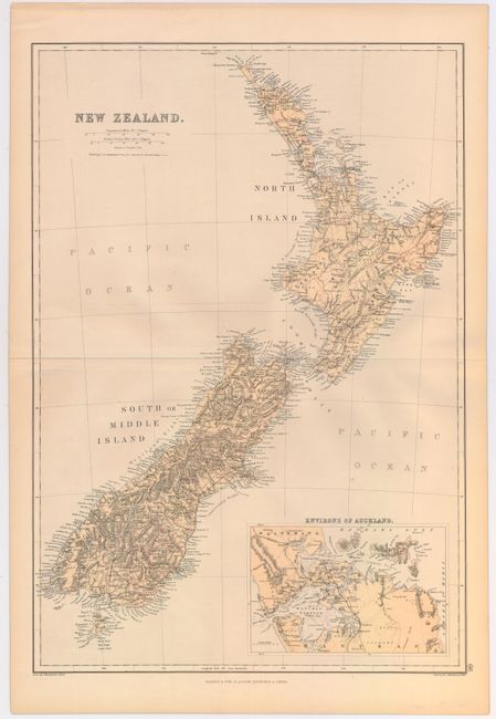
MapMaker: |
W.G. Blackie & Son
|
|
| |
| |
Subject: |
New Zealand |
|
| |
Period/Size: |
1860 / 19.8" x 13.6" (50.3 x 34.6 cm)
|
|
| |
Color: |
Colored
|
|
| |
Condition: |
(B+) There is a thin line of residue in the Pacific, a barely noticeable hole to the left of the inset and a couple of tiny spots within the image. (condition help) |
|
| |
Source: |
The Imperial Atlas of Modern Geography |
|
| |
References: |
|
|
| |
|
|
| Sales Information |
| |
| |
Price: |
|
|
| |
| |
Offered by: |
Old World Auctions |
|
| |
Catalog: |
Auction No. 146 - Antique Maps, Charts, Atlases & Globes (9225) |
|
| |
Lot/Item #: |
778 |
|
| |
| |
Date: |
09/2013
|
|
| |
| |
|