| Item Detail |
| |
| |
MapMaker: |
Thomas Gamaliel Bradford
|
|
| |
| |
Subject: |
Atlases |
|
| |
Period/Size: |
1835 / 13.0" x 10.7" (33.1 x 27.2 cm)
|
|
| |
Color: |
Colored
|
|
| |
Condition: |
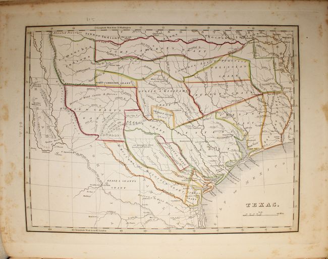
(B) Maps and text show light to moderate foxing. The map of Texas has foxing mostly confined to the blank margins. Contents are tight, but the hinge is starting and the spine is nearly perished. Covers are bumped and worn. There is a light damp stain (condition help) |
|
| |
Source: |
|
|
| |
References: |
Phillips (Atlases) #770; Martin & Martin #31; Wheat [TMW] #408, 409, 410. |
|
| |
|
|
| Sales Information |
| |
| |
Price: |
|
|
| |
| |
Offered by: |
Old World Auctions |
|
| |
Catalog: |
Auction No. 146 - Antique Maps, Charts, Atlases & Globes (9225) |
|
| |
Lot/Item #: |
823 |
|
| |
| |
Date: |
09/2013
|
|
| |
| |
|