| Item Detail |
| |
| |
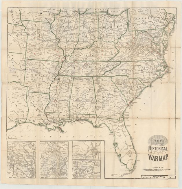
MapMaker: |
Asher & Company
|
|
| |
| |
Subject: |
Southern United States, Civil War |
|
| |
Period/Size: |
1862 / 24.3" x 24.2" (61.8 x 61.5 cm)
|
|
| |
Color: |
Colored
|
|
| |
Condition: |
(C+) Issued folding with numerous fold separations that have been mostly closed on both recto and verso with archival tape. There is 1" circular puncture in Indian Territory that has also been closed on both recto and verso with archival material. Cover (condition help) |
|
| |
Source: |
|
|
| |
References: |
Stephenson #22. |
|
| |
|
|
| Sales Information |
| |
| |
Price: |
|
|
| |
| |
Offered by: |
Old World Auctions |
|
| |
Catalog: |
Auction No. 147 - Antique Maps, Charts, Atlases & Globes (9226) |
|
| |
Lot/Item #: |
174 |
|
| |
| |
Date: |
11/2013
|
|
| |
| |
|