| Item Detail |
| |
| |
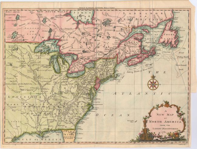
MapMaker: |
John Spilsbury
|
|
| |
| |
Subject: |
Colonial United States & Canada |
|
| |
Period/Size: |
1761 / 10.9" x 15.0" (27.7 x 38.1 cm)
|
|
| |
Color: |
Colored
|
|
| |
Condition: |
(B+) A nice impression issued folding on watermarked paper. There is a 1/2" binding tear at right, a small stain in Canada, and faint offsetting. (condition help) |
|
| |
Source: |
Smollett's Continuation of the Complete History of England |
|
| |
References: |
McCorkle #761-3; Sellers & Van Ee #89. |
|
| |
|
|
| Sales Information |
| |
| |
Price: |
|
|
| |
| |
Offered by: |
Old World Auctions |
|
| |
Catalog: |
Auction No. 147 - Antique Maps, Charts, Atlases & Globes (9226) |
|
| |
Lot/Item #: |
117 |
|
| |
| |
Date: |
11/2013
|
|
| |
| |
|