| Item Detail |
| |
| |
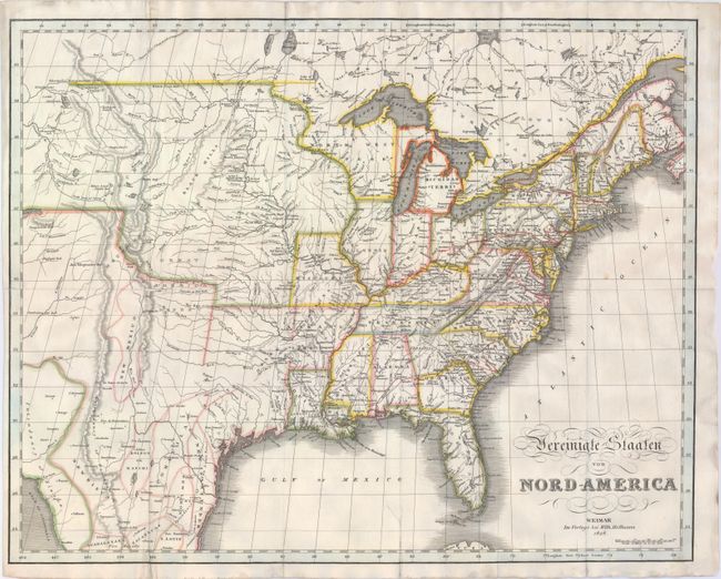
MapMaker: |
W. Hoffman
|
|
| |
| |
Subject: |
Eastern United States |
|
| |
Period/Size: |
1828 / 16.1" x 20.3" (40.9 x 51.6 cm)
|
|
| |
Color: |
Colored
|
|
| |
Condition: |
(B) Issued folding and now flattened on "J Whatman" watermarked paper with numerous fold separations professionally repaired on verso with archival material. A previous owner has traced a route in red ink along the right side of the map and the color in (condition help) |
|
| |
Source: |
|
|
| |
References: |
|
|
| |
|
|
| Sales Information |
| |
| |
Price: |
|
|
| |
| |
Offered by: |
Old World Auctions |
|
| |
Catalog: |
Auction No. 147 - Antique Maps, Charts, Atlases & Globes (9226) |
|
| |
Lot/Item #: |
139 |
|
| |
| |
Date: |
11/2013
|
|
| |
| |
|