| Item Detail |
| |
| |
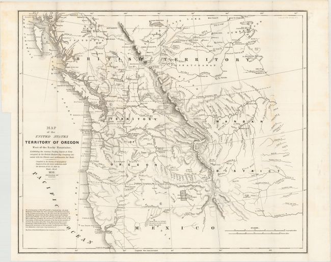
MapMaker: |
Albert/Hood
|
|
| |
| |
Subject: |
Northwestern United States |
|
| |
Period/Size: |
1838 / 17.4" x 20.3" (44.2 x 51.6 cm)
|
|
| |
Color: |
Black & White
|
|
| |
Condition: |
(B+) Issued folding with light scattered foxing, faint toning primarily along the folds, and a binding trim at left. (condition help) |
|
| |
Source: |
Report of the Senate Select Committee on the Occupation of the Oregon Country |
|
| |
References: |
Claussen & Friis #221; Wheat (TMW) #434. |
|
| |
|
|
| Sales Information |
| |
| |
Price: |
|
|
| |
| |
Offered by: |
Old World Auctions |
|
| |
Catalog: |
Auction No. 147 - Antique Maps, Charts, Atlases & Globes (9226) |
|
| |
Lot/Item #: |
192 |
|
| |
| |
Date: |
11/2013
|
|
| |
| |
|