| Item Detail |
| |
| |
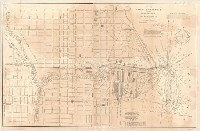
MapMaker: |
James Duncan Graham
|
|
| |
| |
Subject: |
Chicago, Illinois |
|
| |
Period/Size: |
1858 / 55.0" x 48.5" (139.7 x 123.2 cm)
|
|
| |
Color: |
Black & White
|
|
| |
Condition: |
(B) Backed with tissue to reinforce and repair numerous fold separations, chips and cracks. Light uneven toning and minor foxing and offsetting. (condition help) |
|
| |
Source: |
Sen. Ex. No. 1, HO. Ex No. 2, 2nd Session, 35th Cong. |
|
| |
References: |
|
|
| |
|
|
| Sales Information |
| |
| |
Price: |
|
|
| |
| |
Offered by: |
Old World Auctions |
|
| |
Catalog: |
Auction No. 147 - Antique Maps, Charts, Atlases & Globes (9226) |
|
| |
Lot/Item #: |
218 |
|
| |
| |
Date: |
11/2013
|
|
| |
| |
|