| Item Detail |
| |
| |
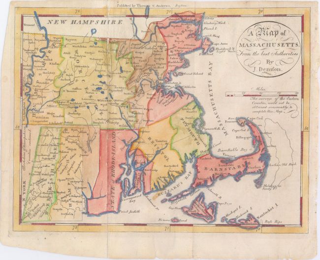
MapMaker: |
James Denison
|
|
| |
| |
Subject: |
Massachusetts, Rhode Island |
|
| |
Period/Size: |
1796 / 7.5" x 9.8" (19.1 x 24.9 cm)
|
|
| |
Color: |
Colored
|
|
| |
Condition: |
(B+) This has been professionally restored along one fold, and there are some short tears and fold separations, mostly confined to the blank margins, with one 1" tear entering the neatline near the title cartouche that has been closed on verso with archiv (condition help) |
|
| |
Source: |
The American Universal Geography |
|
| |
References: |
Wheat & Brun #218. |
|
| |
|
|
| Sales Information |
| |
| |
Price: |
|
|
| |
| |
Offered by: |
Old World Auctions |
|
| |
Catalog: |
Auction No. 147 - Antique Maps, Charts, Atlases & Globes (9226) |
|
| |
Lot/Item #: |
224 |
|
| |
| |
Date: |
11/2013
|
|
| |
| |
|