| Item Detail |
| |
| |
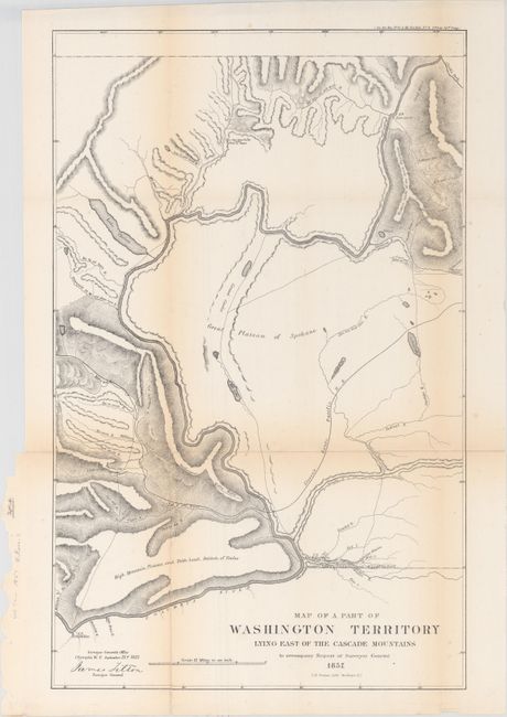
MapMaker: |
James Tilton
|
|
| |
| |
Subject: |
Washington |
|
| |
Period/Size: |
1857 / 22.1" x 14.0" (56.2 x 35.6 cm)
|
|
| |
Color: |
Black & White
|
|
| |
Condition: |
(B) A nice, dark impression, issued folding, with minor toning and numerous fold separations backed in Japanese tissue on verso. (condition help) |
|
| |
Source: |
Sen. Ex. Doc. No. 11 & Ho. Ex. Doc. No. 2, 1st Session., 35st Congress |
|
| |
References: |
|
|
| |
|
|
| Sales Information |
| |
| |
Price: |
|
|
| |
| |
Offered by: |
Old World Auctions |
|
| |
Catalog: |
Auction No. 147 - Antique Maps, Charts, Atlases & Globes (9226) |
|
| |
Lot/Item #: |
251 |
|
| |
| |
Date: |
11/2013
|
|
| |
| |
|