| Item Detail |
| |
| |
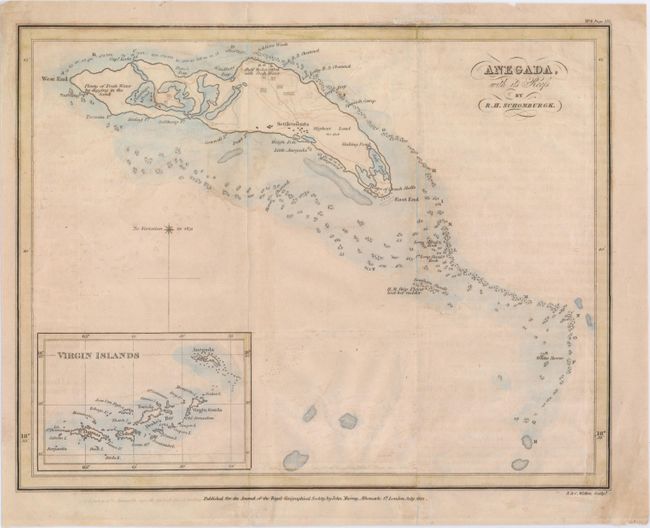
MapMaker: |
Robert Hermann Schomburgk
|
|
| |
| |
Subject: |
Anegada |
|
| |
Period/Size: |
1832 / 7.3" x 9.3" (18.6 x 23.7 cm)
|
|
| |
Color: |
Colored
|
|
| |
Condition: |
(B) Issued folding, now pressed flat, with some short tears along the edges and a fold separation in a blank region of the Caribbean that have been repaired with archival tape and old paper on verso. There is also light offsetting, a dim damp stain that (condition help) |
|
| |
Source: |
Journal of the Royal Geographical Society |
|
| |
References: |
|
|
| |
|
|
| Sales Information |
| |
| |
Price: |
|
|
| |
| |
Offered by: |
Old World Auctions |
|
| |
Catalog: |
Auction No. 147 - Antique Maps, Charts, Atlases & Globes (9226) |
|
| |
Lot/Item #: |
315 |
|
| |
| |
Date: |
11/2013
|
|
| |
| |
|