| Item Detail |
| |
| |
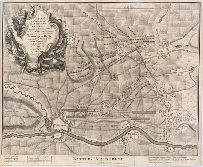
MapMaker: |
Nicholas Tindal
|
|
| |
| |
Subject: |
Maastricht, Netherlands |
|
| |
Period/Size: |
1745 / 15.4" x 18.6" (39.2 x 47.3 cm)
|
|
| |
Color: |
Black & White
|
|
| |
Condition: |
(B+) Issued folding with narrow but adequate margins, faint scattered foxing, remnants of hinge tape on verso, and a short fold separation outside the neatline. (condition help) |
|
| |
Source: |
Tindal's Continuation of Mr. Rapin's History of England |
|
| |
References: |
|
|
| |
|
|
| Sales Information |
| |
| |
Price: |
|
|
| |
| |
Offered by: |
Old World Auctions |
|
| |
Catalog: |
Auction No. 147 - Antique Maps, Charts, Atlases & Globes (9226) |
|
| |
Lot/Item #: |
445 |
|
| |
| |
Date: |
11/2013
|
|
| |
| |
|