| Item Detail |
| |
| |
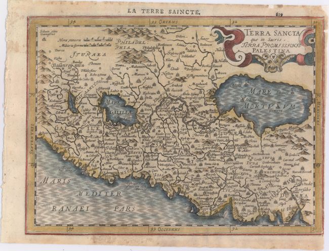
MapMaker: |
Mercator/Cloppenburgh
|
|
| |
| |
Subject: |
Holy Land |
|
| |
Period/Size: |
1630 / 7.5" x 10.2" (19.1 x 25.9 cm)
|
|
| |
Color: |
Colored
|
|
| |
Condition: |
(B+) Attractive color with some tiny tears in blank margins that have been professionally repaired, a few of which just enter the neatline. Very narrow right margin, apparently as issued. (condition help) |
|
| |
Source: |
Atlas Minor |
|
| |
References: |
Van der Krogt (Vol. III) #8150:353. |
|
| |
|
|
| Sales Information |
| |
| |
Price: |
|
|
| |
| |
Offered by: |
Old World Auctions |
|
| |
Catalog: |
Auction No. 147 - Antique Maps, Charts, Atlases & Globes (9226) |
|
| |
Lot/Item #: |
571 |
|
| |
| |
Date: |
11/2013
|
|
| |
| |
|