| Item Detail |
| |
| |
MapMaker: |
Augustin Calmet
|
|
| |
| |
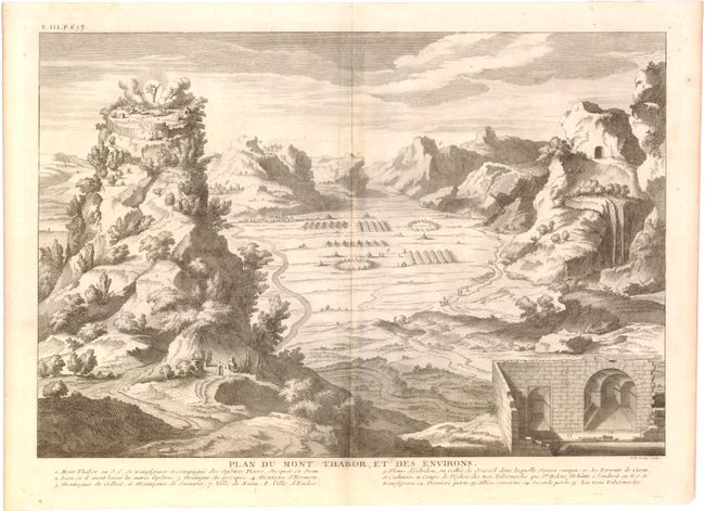
Subject: |
Mount Tabor, Holy Land |
|
| |
Period/Size: |
1730 / 11.6" x 17.1" (29.5 x 43.5 cm)
|
|
| |
Color: |
Black & White
|
|
| |
Condition: |
(A) There is a hint of toning along centerfold, a minor extraneous crease in the top right corner, and hinge tape on the verso of the top margin. (condition help) |
|
| |
Source: |
Dictionnaire Historique…Geographique et Litteral de la Bible |
|
| |
References: |
|
|
| |
|
|
| Sales Information |
| |
| |
Price: |
|
|
| |
| |
Offered by: |
Old World Auctions |
|
| |
Catalog: |
Auction No. 147 - Antique Maps, Charts, Atlases & Globes (9226) |
|
| |
Lot/Item #: |
591 |
|
| |
| |
Date: |
11/2013
|
|
| |
| |
|