| Item Detail |
| |
| |
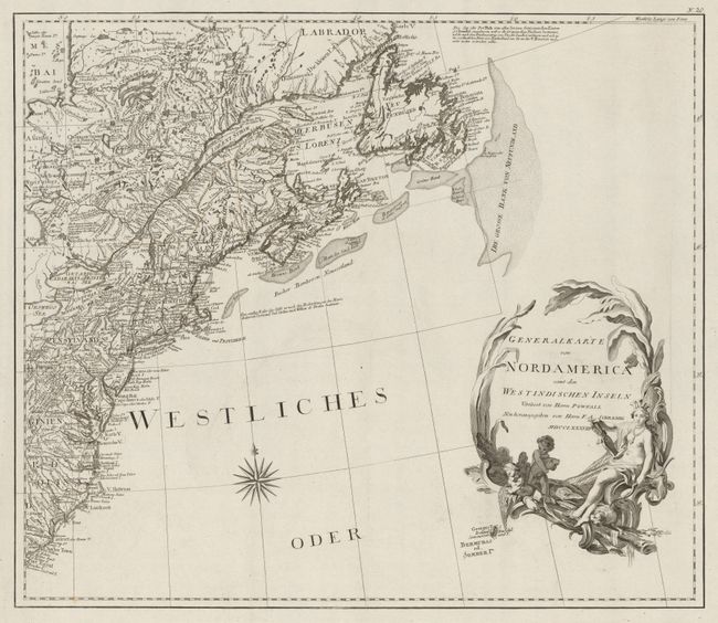
MapMaker: |
Franz Anton Schrambl
|
|
| |
| |
Subject: |
North America |
|
| |
Period/Size: |
1788 / 19.9" x 23.0" (50.6 x 58.5 cm)
|
|
| |
Color: |
Colored
|
|
| |
Condition: |
(A) Nice impressions with slightly faded original outline color and a couple of small, unobtrusive spots. Printed on heavy, watermarked paper with the most generous margins we've ever seen. (condition help) |
|
| |
Source: |
Allgemeiner Grosser Atlas |
|
| |
References: |
McCorkle #788.6; Phillips (A) #694. |
|
| |
|
|
| Sales Information |
| |
| |
Price: |
|
|
| |
| |
Offered by: |
Old World Auctions |
|
| |
Catalog: |
Auction No. 148 - Antique Maps, Charts, Atlases & Globes (9227) |
|
| |
Lot/Item #: |
85 |
|
| |
| |
Date: |
02/2014
|
|
| |
| |
|