| Item Detail |
| |
| |
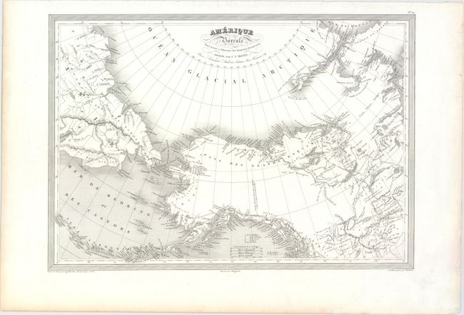
MapMaker: |
Charles V. Monin
|
|
| |
| |
Subject: |
Northwestern North America, Bering Strait |
|
| |
Period/Size: |
1837 / 12.4" x 17.8" (31.5 x 45.3 cm)
|
|
| |
Color: |
Black & White
|
|
| |
Condition: |
(A) There are two small spots at top right and light toning along three of the sheet's edges, well away from image. (condition help) |
|
| |
Source: |
L'Univers. Atlas Classique et Universel de Geographie Ancienne et Moderne... |
|
| |
References: |
|
|
| |
|
|
| Sales Information |
| |
| |
Price: |
|
|
| |
| |
Offered by: |
Old World Auctions |
|
| |
Catalog: |
Auction No. 148 - Antique Maps, Charts, Atlases & Globes (9227) |
|
| |
Lot/Item #: |
104 |
|
| |
| |
Date: |
02/2014
|
|
| |
| |
|