| Item Detail |
| |
| |
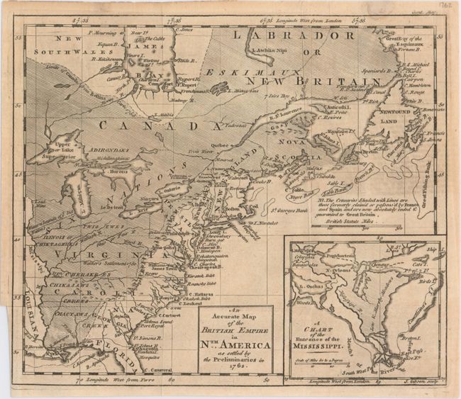
MapMaker: |
John Gibson
|
|
| |
| |
Subject: |
Colonial United States & Canada |
|
| |
Period/Size: |
1762 / 8.3" x 9.7" (21.1 x 24.7 cm)
|
|
| |
Color: |
Black & White
|
|
| |
Condition: |
(B+) Issued folding on watermarked paper with light overall toning, a binding trim at bottom left, and a small damp stain at top right that just enters the neatline. (condition help) |
|
| |
Source: |
Gentleman's Magazine |
|
| |
References: |
Jolly #GENT-165; McCorkle #762.1; Seller & Van Ee #92. |
|
| |
|
|
| Sales Information |
| |
| |
Price: |
|
|
| |
| |
Offered by: |
Old World Auctions |
|
| |
Catalog: |
Auction No. 148 - Antique Maps, Charts, Atlases & Globes (9227) |
|
| |
Lot/Item #: |
127 |
|
| |
| |
Date: |
02/2014
|
|
| |
| |
|