| Item Detail |
| |
| |
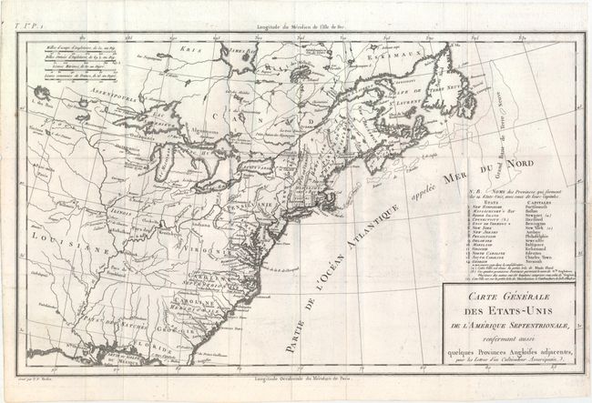
MapMaker: |
Michel Guillaume St. Jean de Crevecoeur
|
|
| |
| |
Subject: |
Eastern United States & Canada |
|
| |
Period/Size: |
1787 / 10.1" x 16.7" (25.7 x 42.5 cm)
|
|
| |
Color: |
Black & White
|
|
| |
Condition: |
(B+) Issued folding on watermarked paper with a short fold separation that just enters the image at right, some minor offsetting, and a binding trim at right. (condition help) |
|
| |
Source: |
Lettres d'un Cultivateur Ameriquain... |
|
| |
References: |
McCorkle #787.8; Mapforum 1, Early Maps of the US #69; Baynton-Williams (TMC-72) #1. |
|
| |
|
|
| Sales Information |
| |
| |
Price: |
|
|
| |
| |
Offered by: |
Old World Auctions |
|
| |
Catalog: |
Auction No. 148 - Antique Maps, Charts, Atlases & Globes (9227) |
|
| |
Lot/Item #: |
131 |
|
| |
| |
Date: |
02/2014
|
|
| |
| |
|