| Item Detail |
| |
| |
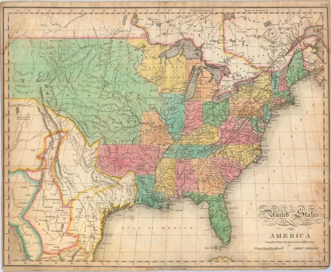
MapMaker: |
John Melish
|
|
| |
| |
Subject: |
United States |
|
| |
Period/Size: |
1821 / 17.0" x 21.3" (43.2 x 54.1 cm)
|
|
| |
Color: |
Colored
|
|
| |
Condition: |
(B) Light toning and staining with a centerfold separation at bottom that extends 6" into the image closed on verso with archival tape. Damp stains occupy the top corners of the map image, and there are a few tiny chips along the edges of the sheet that (condition help) |
|
| |
Source: |
A Complete Genealogical, Historical, Chronological and Geographical Atlasģ |
|
| |
References: |
Wheat (TMW) #338. |
|
| |
|
|
| Sales Information |
| |
| |
Price: |
|
|
| |
| |
Offered by: |
Old World Auctions |
|
| |
Catalog: |
Auction No. 148 - Antique Maps, Charts, Atlases & Globes (9227) |
|
| |
Lot/Item #: |
140 |
|
| |
| |
Date: |
02/2014
|
|
| |
| |
|