| Item Detail |
| |
| |
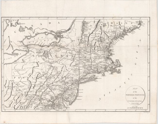
MapMaker: |
Richard Phillips
|
|
| |
| |
Subject: |
Northeastern United States |
|
| |
Period/Size: |
1799 / 12.8" x 20.0" (32.6 x 50.8 cm)
|
|
| |
Color: |
Black & White
|
|
| |
Condition: |
(B+) A nice impression, issued folding with some very faint stains at top right and a couple extraneous creases. There is a binding trim at top left that extends to the neatline with a tiny binding tear just entering the map that has been closed on verso (condition help) |
|
| |
Source: |
Marshall's Life of Washington |
|
| |
References: |
McCorkle #799.7; Phillips (M) p. 873. |
|
| |
|
|
| Sales Information |
| |
| |
Price: |
|
|
| |
| |
Offered by: |
Old World Auctions |
|
| |
Catalog: |
Auction No. 148 - Antique Maps, Charts, Atlases & Globes (9227) |
|
| |
Lot/Item #: |
180 |
|
| |
| |
Date: |
02/2014
|
|
| |
| |
|