| Item Detail |
| |
| |
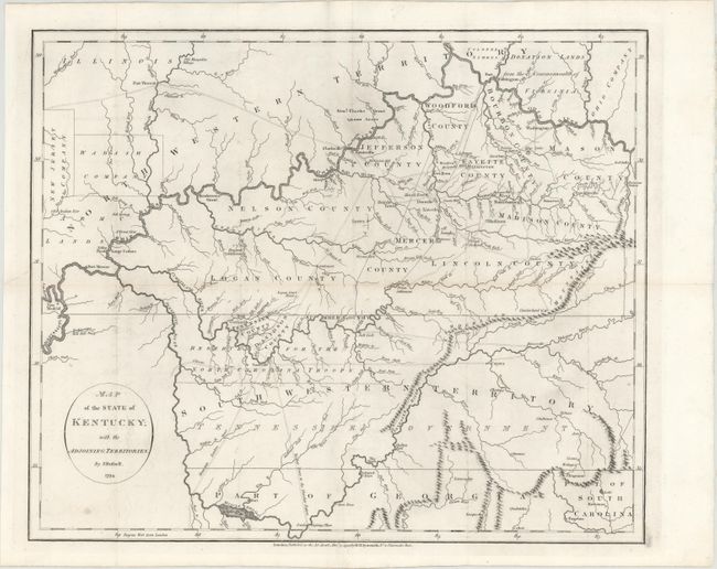
MapMaker: |
John Russell
|
|
| |
| |
Subject: |
Tennessee, Kentucky |
|
| |
Period/Size: |
1794 / 14.9" x 18.1" (37.9 x 46.0 cm)
|
|
| |
Color: |
Black & White
|
|
| |
Condition: |
(B+) Issued folding with faint offsetting, minor toning along one fold, two tiny holes at fold intersections, and a tear at left that just touches the neatline and has been repaired on verso with archival materials. (condition help) |
|
| |
Source: |
An Historical...and Philosophical View of the United Statesģ |
|
| |
References: |
cf. Wheat & Brun #646. |
|
| |
|
|
| Sales Information |
| |
| |
Price: |
|
|
| |
| |
Offered by: |
Old World Auctions |
|
| |
Catalog: |
Auction No. 148 - Antique Maps, Charts, Atlases & Globes (9227) |
|
| |
Lot/Item #: |
206 |
|
| |
| |
Date: |
02/2014
|
|
| |
| |
|