Title:
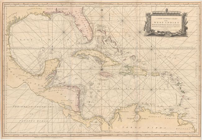
“A New General Chart of the West Indies from the Latest Marine Journals and Surveys, Regulated and Ascertained by Astronomical Observations”
Map Maker:
Sayer & Bennett
A spectacular, large-scale chart of the Gulf of Me... (full text available to subscribers)
| Item Detail |
| |
| |
MapMaker: |
Sayer & Bennett
|
|
| |
| |
Subject: |
Gulf of Mexico & Caribbean |
|
| |
Period/Size: |
1779 / 27.3" x 40.2" (69.4 x 102.1 cm)
|
|
| |
Color: |
Colored
|
|
| |
Condition: |
(B+) Issued folding on watermarked paper with original color, archival repairs to a few short fold separations, and very light toning along one fold. There are a few light spots of foxing and minor soiling. Please note that the bluish shadows running ve (condition help) |
|
| |
Source: |
|
|
| |
References: |
|
|
| |
|
|
| Sales Information |
| |
| |
Price: |
|
|
| |
| |
Offered by: |
Old World Auctions |
|
| |
Catalog: |
Auction No. 148 - Antique Maps, Charts, Atlases & Globes (9227) |
|
| |
Lot/Item #: |
363 |
|
| |
| |
Date: |
02/2014
|
|
| |
| |
|
Antique Maps - Valuation and Pricing, Descriptions, Resources |
|
Home |
Information |
Search |
Register |
Contact Us |
Site Map
Americana Exchange, Inc. © 1999 - 2024 Americana Exchange, Inc.. All rights reserved.
OldMaps.com, the OldMaps.com logo and
AMPR are service marks or registered service marks of Americana Exchange, Inc..
|