| Item Detail |
| |
| |
MapMaker: |
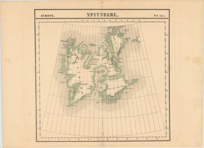
Philippe Marie Guillaume Vandermaelen
|
|
| |
| |
Subject: |
Spitsbergen, Norway |
|
| |
Period/Size: |
1825 / 19.1" x 19.2" (48.6 x 48.8 cm)
|
|
| |
Color: |
Colored
|
|
| |
Condition: |
(B+) Original color with spots of minor foxing along the centerfold and a faint stain that just enters the neatline at right. (condition help) |
|
| |
Source: |
Atlas Universel de Geographie Physique, Politique, Statistique et Mineralogique |
|
| |
References: |
|
|
| |
|
|
| Sales Information |
| |
| |
Price: |
|
|
| |
| |
Offered by: |
Old World Auctions |
|
| |
Catalog: |
Auction No. 148 - Antique Maps, Charts, Atlases & Globes (9227) |
|
| |
Lot/Item #: |
495 |
|
| |
| |
Date: |
02/2014
|
|
| |
| |
|