| Item Detail |
| |
| |
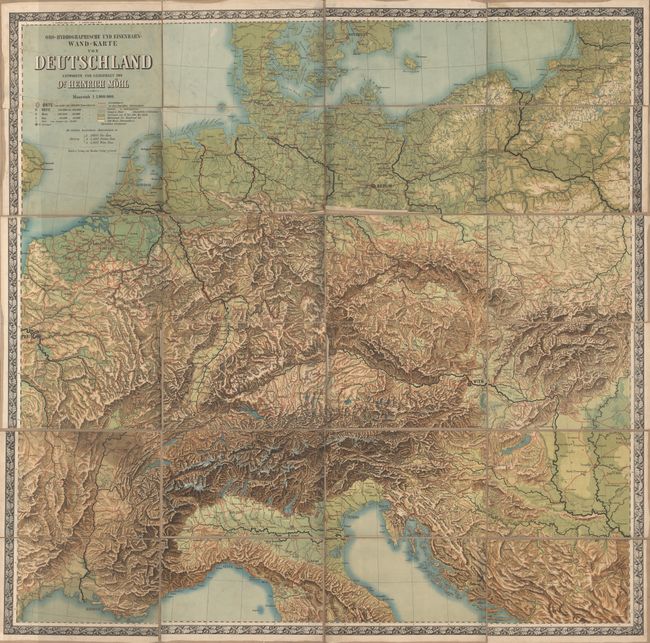
MapMaker: |
Theodor Fischer
|
|
| |
| |
Subject: |
Central Europe |
|
| |
Period/Size: |
1870 / 58.0" x 60.0" (147.4 x 152.4 cm)
|
|
| |
Color: |
Colored
|
|
| |
Condition: |
(B) Brightly colored with light soiling and a few small abrasions at the top of the map. The dissected sections are detaching from the linen, and some of the sections have a tendency to stick together when folded, but they are fairly easily separated wit (condition help) |
|
| |
Source: |
|
|
| |
References: |
|
|
| |
|
|
| Sales Information |
| |
| |
Price: |
|
|
| |
| |
Offered by: |
Old World Auctions |
|
| |
Catalog: |
Auction No. 148 - Antique Maps, Charts, Atlases & Globes (9227) |
|
| |
Lot/Item #: |
532 |
|
| |
| |
Date: |
02/2014
|
|
| |
| |
|