| Item Detail |
| |
| |
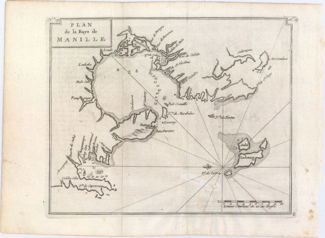
MapMaker: |
George Anson
|
|
| |
| |
Subject: |
Manila Bay, Philippines |
|
| |
Period/Size: |
1749 / 8.0" x 9.9" (20.4 x 25.2 cm)
|
|
| |
Color: |
Black & White
|
|
| |
Condition: |
(B+) Issued folding on watermarked paper with light printer's ink residue, faint offsetting from an opposing page of text, and a tiny infilled hole. (condition help) |
|
| |
Source: |
Voyage Autour du Monde |
|
| |
References: |
cf. Shirley (BL Atlases) G.ANS-2a #9. |
|
| |
|
|
| Sales Information |
| |
| |
Price: |
|
|
| |
| |
Offered by: |
Old World Auctions |
|
| |
Catalog: |
Auction No. 148 - Antique Maps, Charts, Atlases & Globes (9227) |
|
| |
Lot/Item #: |
685 |
|
| |
| |
Date: |
02/2014
|
|
| |
| |
|