Title:
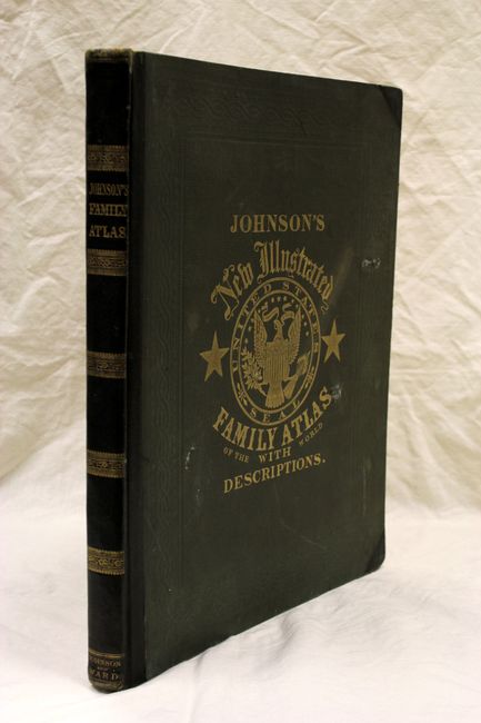
“Johnson's New Illustrated (Steel Plate) Family Atlas, with Physical Geography, and with Descriptions Geographical, Statistical, and Historical, Including the Latest Federal Census…”
Map Maker:
Johnson & Ward
This complete atlas contains 66 beautifully render... (full text available to subscribers)
| Item Detail |
| |
| |
MapMaker: |
Johnson & Ward
|
|
| |
| |
Subject: |
Atlases |
|
| |
Period/Size: |
1864 / 18.8" x 14.8" (47.8 x 37.6 cm)
|
|
| |
Color: |
Colored
|
|
| |
Condition: |
(B+) Contents are generally very good with light toning and foxing. The map of the world on Mercator's projection is completely separated along the centerfold, and the map of England & Wales has a 2" centerfold separation at top. Covers and spine show o (condition help) |
|
| |
Source: |
|
|
| |
References: |
|
|
| |
|
|
| Sales Information |
| |
| |
Price: |
|
|
| |
| |
Offered by: |
Old World Auctions |
|
| |
Catalog: |
Auction No. 148 - Antique Maps, Charts, Atlases & Globes (9227) |
|
| |
Lot/Item #: |
805 |
|
| |
| |
Date: |
02/2014
|
|
| |
| |
|
Antique Maps - Valuation and Pricing, Descriptions, Resources |
|
Home |
Information |
Search |
Register |
Contact Us |
Site Map
Americana Exchange, Inc. © 1999 - 2024 Americana Exchange, Inc.. All rights reserved.
OldMaps.com, the OldMaps.com logo and
AMPR are service marks or registered service marks of Americana Exchange, Inc..
|