| Item Detail |
| |
| |
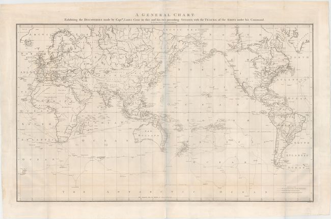
MapMaker: |
James Cook
|
|
| |
| |
Subject: |
World |
|
| |
Period/Size: |
1784 / 22.9" x 35.8" (58.2 x 91.0 cm)
|
|
| |
Color: |
Black & White
|
|
| |
Condition: |
(B+) Issued folding on sturdy paper with a "J. Whatman" watermark. There are a few short separations along folds that have been archivally repaired and very minor soiling. A nice example. The bluish shadow that appears along the centerfold is caused by (condition help) |
|
| |
Source: |
A Voyage to the Pacific Ocean |
|
| |
References: |
Perry & Prescott #1784-4; Falk #1784-4; Wagner #699; Tooley, p. 46 #331. |
|
| |
|
|
| Sales Information |
| |
| |
Price: |
|
|
| |
| |
Offered by: |
Old World Auctions |
|
| |
Catalog: |
Auction No. 149 - Antique Maps, Charts, Atlases & Globes (9228) |
|
| |
Lot/Item #: |
30 |
|
| |
| |
Date: |
05/2014
|
|
| |
| |
|