| Item Detail |
| |
| |
MapMaker: |
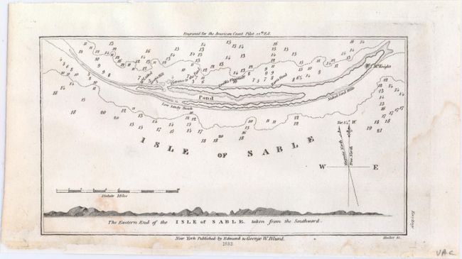
Blunt [Family]
|
|
| |
| |
Subject: |
Isle of Sable, Nova Scotia, Canada |
|
| |
Period/Size: |
1833 / 3.9" x 7.2" (9.9 x 18.3 cm)
|
|
| |
Color: |
Black & White
|
|
| |
Condition: |
(B+) There is a small stain at bottom left and a damp stain confined to the right blank margin. The bottom margin is slightly trimmed and backed in tissue. (condition help) |
|
| |
Source: |
American Coast Pilot |
|
| |
References: |
|
|
| |
|
|
| Sales Information |
| |
| |
Price: |
|
|
| |
| |
Offered by: |
Old World Auctions |
|
| |
Catalog: |
Auction No. 149 - Antique Maps, Charts, Atlases & Globes (9228) |
|
| |
Lot/Item #: |
104 |
|
| |
| |
Date: |
05/2014
|
|
| |
| |
|