| Item Detail |
| |
| |
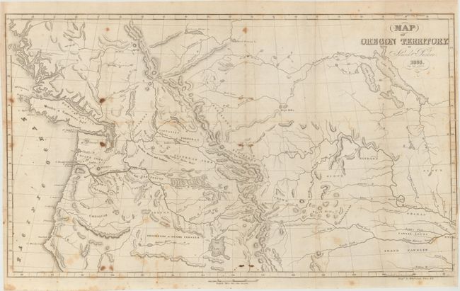
MapMaker: |
Samuel Parker
|
|
| |
| |
Subject: |
Northwestern United States, Canada |
|
| |
Period/Size: |
1838 / 14.0" x 22.3" (35.6 x 56.7 cm)
|
|
| |
Color: |
Black & White
|
|
| |
Condition: |
(B) Issued folding with scattered foxing and a 1" binding tear at right closed on verso with archival tape. (condition help) |
|
| |
Source: |
Journal of Our Exploring Tour beyond the Rocky Mountains |
|
| |
References: |
Wheat [TMW] #438; Wagner-Camp #70. |
|
| |
|
|
| Sales Information |
| |
| |
Price: |
|
|
| |
| |
Offered by: |
Old World Auctions |
|
| |
Catalog: |
Auction No. 149 - Antique Maps, Charts, Atlases & Globes (9228) |
|
| |
Lot/Item #: |
119 |
|
| |
| |
Date: |
05/2014
|
|
| |
| |
|