| Item Detail |
| |
| |
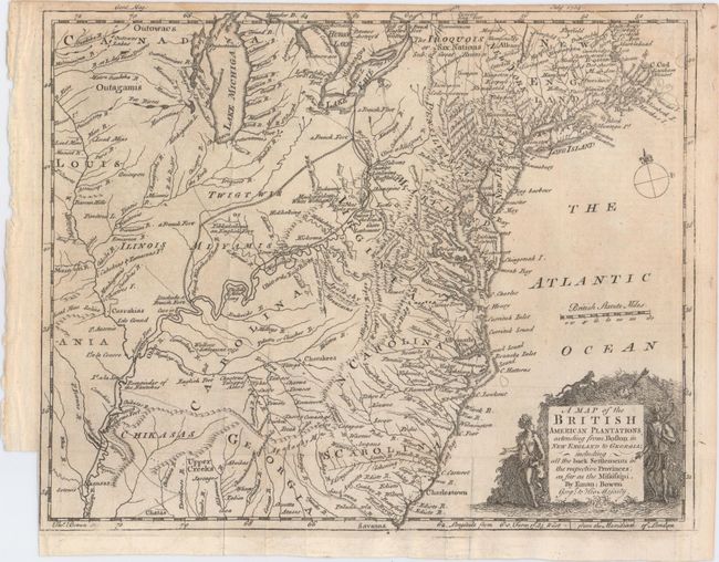
MapMaker: |
Emanuel Bowen
|
|
| |
| |
Subject: |
Colonial United States |
|
| |
Period/Size: |
1754 / 8.6" x 10.8" (21.9 x 27.5 cm)
|
|
| |
Color: |
Black & White
|
|
| |
Condition: |
(B+) Issued folding with a faint damp stain along a portion of the top border, minor offsetting at bottom, and a binding trim at lower left. (condition help) |
|
| |
Source: |
Gentleman's Magazine |
|
| |
References: |
Jolly #GENT-89; McCorkle #754-1; Sellers & Van Ee #708; cf. Cumming (SE) #272. |
|
| |
|
|
| Sales Information |
| |
| |
Price: |
|
|
| |
| |
Offered by: |
Old World Auctions |
|
| |
Catalog: |
Auction No. 149 - Antique Maps, Charts, Atlases & Globes (9228) |
|
| |
Lot/Item #: |
131 |
|
| |
| |
Date: |
05/2014
|
|
| |
| |
|