| Item Detail |
| |
| |
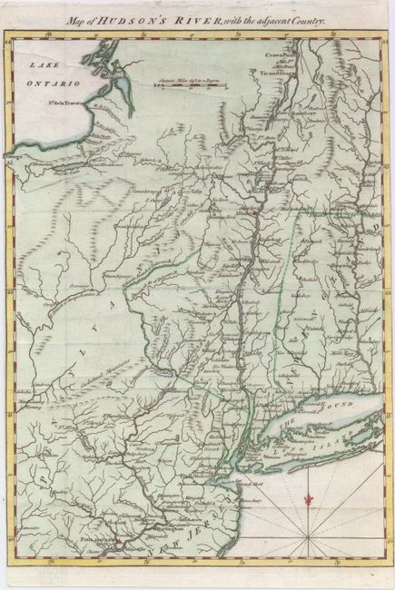
MapMaker: |
Anonymous
|
|
| |
| |
Subject: |
Colonial New England |
|
| |
Period/Size: |
1778 / 11.6" x 8.4" (29.5 x 21.4 cm)
|
|
| |
Color: |
Colored
|
|
| |
Condition: |
(B+) Issued folding with the margin trimmed to neatline at left and most of the neatline missing at right. There are two printer's creases in the top left corner and a touch of soiling. (condition help) |
|
| |
Source: |
Gentleman's Magazine |
|
| |
References: |
Jolly #GENT-257. |
|
| |
|
|
| Sales Information |
| |
| |
Price: |
|
|
| |
| |
Offered by: |
Old World Auctions |
|
| |
Catalog: |
Auction No. 149 - Antique Maps, Charts, Atlases & Globes (9228) |
|
| |
Lot/Item #: |
142 |
|
| |
| |
Date: |
05/2014
|
|
| |
| |
|