| Item Detail |
| |
| |
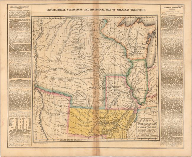
MapMaker: |
Carey & Lea
|
|
| |
| |
Subject: |
Central United States, Arkansas |
|
| |
Period/Size: |
1822 / 14.5" x 14.7" (36.9 x 37.4 cm)
|
|
| |
Color: |
Colored
|
|
| |
Condition: |
(B) Original hand color with toning concentrated mostly along the centerfold, light offsetting, and a couple of spots in the text columns. There is a centerfold separation at bottom that does not enter the map. (condition help) |
|
| |
Source: |
A Complete Historical, Chronological, and Geographical American Atlas... |
|
| |
References: |
Phillips (A) #1373A-35; Wheat (TMW) #348. |
|
| |
|
|
| Sales Information |
| |
| |
Price: |
|
|
| |
| |
Offered by: |
Old World Auctions |
|
| |
Catalog: |
Auction No. 149 - Antique Maps, Charts, Atlases & Globes (9228) |
|
| |
Lot/Item #: |
174 |
|
| |
| |
Date: |
05/2014
|
|
| |
| |
|