| Item Detail |
| |
| |
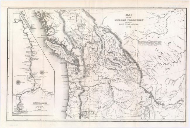
MapMaker: |
Charles Wilkes
|
|
| |
| |
Subject: |
Northwestern United States |
|
| |
Period/Size: |
1849 / 8.4" x 13.2" (21.4 x 33.6 cm)
|
|
| |
Color: |
Black & White
|
|
| |
Condition: |
(A) A fine impression issued folding on a bright sheet with just a few tiny spots, a printer's crease at left, and a short fold separation at right that does not enter the neatline. (condition help) |
|
| |
Source: |
Western America; Including California and Oregonģ |
|
| |
References: |
Wheat (TMW) #655; Hayes 199. |
|
| |
|
|
| Sales Information |
| |
| |
Price: |
|
|
| |
| |
Offered by: |
Old World Auctions |
|
| |
Catalog: |
Auction No. 149 - Antique Maps, Charts, Atlases & Globes (9228) |
|
| |
Lot/Item #: |
195 |
|
| |
| |
Date: |
05/2014
|
|
| |
| |
|