| Item Detail |
| |
| |
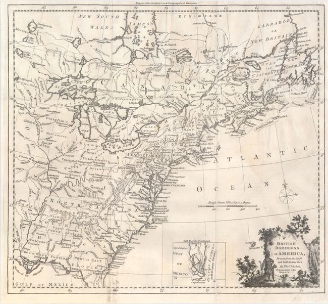
MapMaker: |
Thomas Kitchin
|
|
| |
| |
Subject: |
Colonial United States & Canada |
|
| |
Period/Size: |
1770 / 13.4" x 14.8" (34.1 x 37.6 cm)
|
|
| |
Color: |
Black & White
|
|
| |
Condition: |
(B+) Issued folding, now flattened, on watermarked paper with minor soiling and a few fold separations and tears that have been archivally repaired. There is also a 5-6" binding tear at right that has been professionally closed on verso. (condition help) |
|
| |
Source: |
Guthrie's New Geographical Grammar |
|
| |
References: |
McCorkle #780.6; Goss (NA) #64. |
|
| |
|
|
| Sales Information |
| |
| |
Price: |
|
|
| |
| |
Offered by: |
Old World Auctions |
|
| |
Catalog: |
Auction No. 149 - Antique Maps, Charts, Atlases & Globes (9228) |
|
| |
Lot/Item #: |
114 |
|
| |
| |
Date: |
05/2014
|
|
| |
| |
|