| Item Detail |
| |
| |
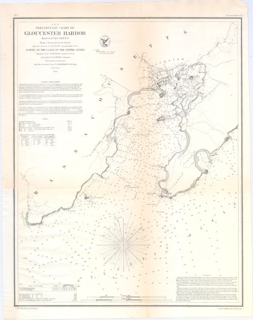
MapMaker: |
U.S. Coast Survey
|
|
| |
| |
Subject: |
Gloucester Harbor, Massachusetts |
|
| |
Period/Size: |
1854 / 17.5" x 13.9" (44.5 x 35.3 cm)
|
|
| |
Color: |
Black & White
|
|
| |
Condition: |
(B+) Issued folding, now flat, with a tiny hole at a fold intersection and some faint toning along the folds. The map has been remargined at bottom left with border replaced in facsimile. (condition help) |
|
| |
Source: |
|
|
| |
References: |
|
|
| |
|
|
| Sales Information |
| |
| |
Price: |
|
|
| |
| |
Offered by: |
Old World Auctions |
|
| |
Catalog: |
Auction No. 149 - Antique Maps, Charts, Atlases & Globes (9228) |
|
| |
Lot/Item #: |
250 |
|
| |
| |
Date: |
05/2014
|
|
| |
| |
|