| Item Detail |
| |
| |
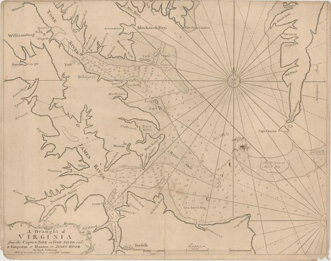
MapMaker: |
Mount & Page
|
|
| |
| |
Subject: |
Eastern Virginia |
|
| |
Period/Size: |
1751 / 18.1" x 23.0" (46.0 x 58.5 cm)
|
|
| |
Color: |
Black & White
|
|
| |
Condition: |
(B) Trimmed to the neatline at top left with the neatline missing at top right and some soiling in the image. There are short centerfold separations at top and bottom as well as a number of edge tears and chips, most of them tiny with the exception of a (condition help) |
|
| |
Source: |
The English Pilot. The Fourth Bookģ |
|
| |
References: |
Sellers & Van Ee #1492; Stepheson & McKee #II-32; Wooldridge #94; Shirley (BL Atlases) M.M&P-5b #16. |
|
| |
|
|
| Sales Information |
| |
| |
Price: |
|
|
| |
| |
Offered by: |
Old World Auctions |
|
| |
Catalog: |
Auction No. 149 - Antique Maps, Charts, Atlases & Globes (9228) |
|
| |
Lot/Item #: |
299 |
|
| |
| |
Date: |
05/2014
|
|
| |
| |
|