| Item Detail |
| |
| |
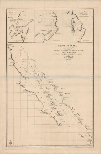
MapMaker: |
Direccion de Hidrografia
|
|
| |
| |
Subject: |
Northwestern Mexico |
|
| |
Period/Size: |
1825 / 34.2" x 22.0" (86.9 x 55.9 cm)
|
|
| |
Color: |
Black & White
|
|
| |
Condition: |
(B+) A bright, clean example that has been backed with Japanese tissue to help reinforce an archivally repaired tear that enters about 10" into map at top. The bluish shadow that appears along the centerfold is caused by our scanner, and does not appear (condition help) |
|
| |
Source: |
|
|
| |
References: |
|
|
| |
|
|
| Sales Information |
| |
| |
Price: |
|
|
| |
| |
Offered by: |
Old World Auctions |
|
| |
Catalog: |
Auction No. 149 - Antique Maps, Charts, Atlases & Globes (9228) |
|
| |
Lot/Item #: |
328 |
|
| |
| |
Date: |
05/2014
|
|
| |
| |
|