| Item Detail |
| |
| |
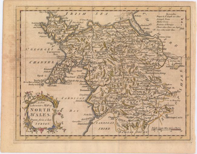
MapMaker: |
Anonymous
|
|
| |
| |
Subject: |
Northern Wales |
|
| |
Period/Size: |
1766 / 7.2" x 9.3" (18.3 x 23.7 cm)
|
|
| |
Color: |
Colored
|
|
| |
Condition: |
(B) Issued folding on a slightly toned sheet with light offsetting and some soiling mostly concentrated just outside the neatline at left. (condition help) |
|
| |
Source: |
Universal Magazine |
|
| |
References: |
Jolly #UNIV-126. |
|
| |
|
|
| Sales Information |
| |
| |
Price: |
|
|
| |
| |
Offered by: |
Old World Auctions |
|
| |
Catalog: |
Auction No. 149 - Antique Maps, Charts, Atlases & Globes (9228) |
|
| |
Lot/Item #: |
441 |
|
| |
| |
Date: |
05/2014
|
|
| |
| |
|