Title:
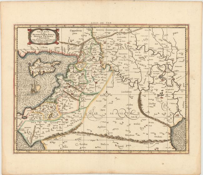
“Tab. IV. Asiae, in qua Mesopotamia, Syria, Arabia Petrea, ac Deserta...”
Map Maker:
Ptolemy/Mercator
Great Ptolemaic map of the region between the Medi... (full text available to subscribers)
| Item Detail |
| |
| |
MapMaker: |
Ptolemy/Mercator
|
|
| |
| |
Subject: |
Middle East & Cyprus |
|
| |
Period/Size: |
1730 / 13.4" x 18.2" (34.1 x 46.3 cm)
|
|
| |
Color: |
Colored
|
|
| |
Condition: |
(A) Nice impression and color on watermarked paper. (condition help) |
|
| |
Source: |
Claudii Ptolemaei's Atlas Tabulae Geographicae Orbis Terrarum |
|
| |
References: |
Mickwitz & Miekkavaara #235-10; Van der Krogt (Vol. I) #0924:1.3. |
|
| |
|
|
| Sales Information |
| |
| |
Price: |
|
|
| |
| |
Offered by: |
Old World Auctions |
|
| |
Catalog: |
Auction No. 149 - Antique Maps, Charts, Atlases & Globes (9228) |
|
| |
Lot/Item #: |
581 |
|
| |
| |
Date: |
05/2014
|
|
| |
| |
|
Antique Maps - Valuation and Pricing, Descriptions, Resources |
|
Home |
Information |
Search |
Register |
Contact Us |
Site Map
Americana Exchange, Inc. © 1999 - 2024 Americana Exchange, Inc.. All rights reserved.
OldMaps.com, the OldMaps.com logo and
AMPR are service marks or registered service marks of Americana Exchange, Inc..
|