| Item Detail |
| |
| |
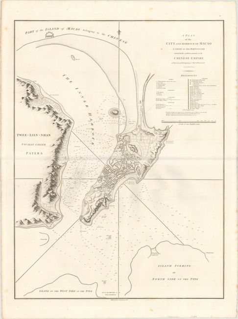
MapMaker: |
Sir John Barrow
|
|
| |
| |
Subject: |
Macao, China |
|
| |
Period/Size: |
1796 / 27.4" x 20.8" (69.6 x 52.9 cm)
|
|
| |
Color: |
Black & White
|
|
| |
Condition: |
(B+) On a sturdy sheet with a "J. Whatman" watermark, a few faint spots in the image, and minor offsetting. (condition help) |
|
| |
Source: |
An Authentic Account of an Embassy from the King ģ to the Emperor of China |
|
| |
References: |
Shirley (BL Atlases) G.BARR-1a-11. |
|
| |
|
|
| Sales Information |
| |
| |
Price: |
|
|
| |
| |
Offered by: |
Old World Auctions |
|
| |
Catalog: |
Auction No. 149 - Antique Maps, Charts, Atlases & Globes (9228) |
|
| |
Lot/Item #: |
642 |
|
| |
| |
Date: |
05/2014
|
|
| |
| |
|