Title:
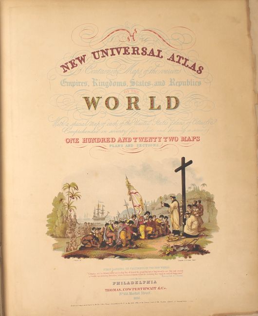
“A New Universal Atlas Containing Maps of the Various Empires, Kingdoms, States and Republics of the World...”
Map Maker:
Thomas, Cowperthwait & Co.
The title continues "With a special map of each of... (full text available to subscribers)
| Item Detail |
| |
| |
MapMaker: |
Thomas, Cowperthwait & Co.
|
|
| |
| |
Subject: |
Atlases |
|
| |
Period/Size: |
1852 / 17.3" x 14.0" (44.0 x 35.6 cm)
|
|
| |
Color: |
Colored
|
|
| |
Condition: |
(B+) The maps, in original color, are in overall very good to near fine condition with some light toning along the sheet edges. The maps of Maine and New Hampshire/Vermont have a small rust stain in the image and the Wisconsin and Minnesota maps are trim (condition help) |
|
| |
Source: |
|
|
| |
References: |
|
|
| |
|
|
| Sales Information |
| |
| |
Price: |
|
|
| |
| |
Offered by: |
Old World Auctions |
|
| |
Catalog: |
Auction No. 149 - Antique Maps, Charts, Atlases & Globes (9228) |
|
| |
Lot/Item #: |
740 |
|
| |
| |
Date: |
05/2014
|
|
| |
| |
|
Antique Maps - Valuation and Pricing, Descriptions, Resources |
|
Home |
Information |
Search |
Register |
Contact Us |
Site Map
Americana Exchange, Inc. © 1999 - 2024 Americana Exchange, Inc.. All rights reserved.
OldMaps.com, the OldMaps.com logo and
AMPR are service marks or registered service marks of Americana Exchange, Inc..
|