Title:
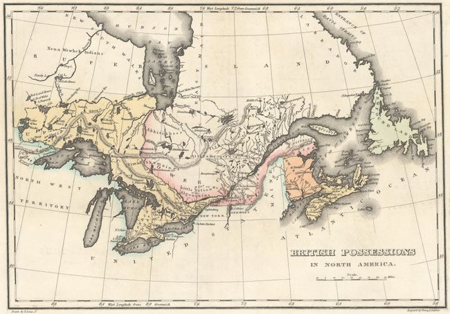
“Geographical, Statistical, and Historical Map of Upper and Lower Canada, and the Other British Possessions in North America”
Map Maker:
Carey & Lea
This map, alternately titled British Possession... (full text available to subscribers)
| Item Detail |
| |
| |
MapMaker: |
Carey & Lea
|
|
| |
| |
Subject: |
Canada |
|
| |
Period/Size: |
1822 / 9.9" x 14.1" (25.2 x 35.9 cm)
|
|
| |
Color: |
Colored
|
|
| |
Condition: |
(A) Original color. A dark impression with faint offsetting and short professionally repaired centerfold separations at top and bottom. (condition help) |
|
| |
Source: |
A Complete Historical, Chronological, and Geographical American Atlas |
|
| |
References: |
|
|
| |
|
|
| Sales Information |
| |
| |
Price: |
|
|
| |
| |
Offered by: |
Old World Auctions |
|
| |
Catalog: |
Auction No. 150 - Antique Maps, Charts, Atlases & Globes (9230) |
|
| |
Lot/Item #: |
107 |
|
| |
| |
Date: |
09/2014
|
|
| |
| |
|
Antique Maps - Valuation and Pricing, Descriptions, Resources |
|
Home |
Information |
Search |
Register |
Contact Us |
Site Map
Americana Exchange, Inc. © 1999 - 2024 Americana Exchange, Inc.. All rights reserved.
OldMaps.com, the OldMaps.com logo and
AMPR are service marks or registered service marks of Americana Exchange, Inc..
|