| Item Detail |
| |
| |
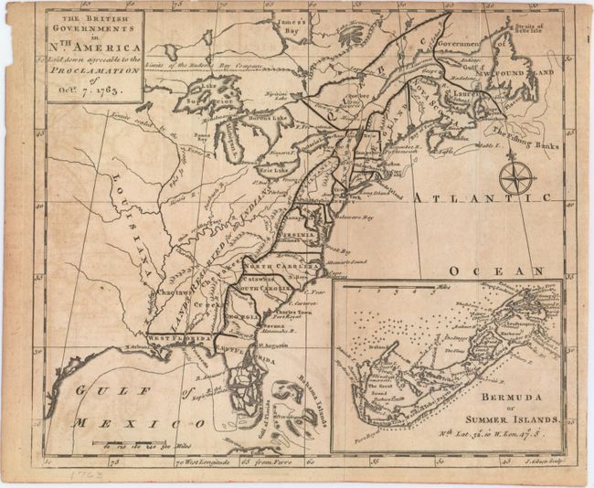
MapMaker: |
John Gibson
|
|
| |
| |
Subject: |
Colonial Eastern United States & Canada |
|
| |
Period/Size: |
1763 / 7.9" x 9.3" (20.1 x 23.7 cm)
|
|
| |
Color: |
Black & White
|
|
| |
Condition: |
(B) Issued folding with light toning, some minor offsetting, and faint soiling. The neatline has been trimmed at top, as issued. (condition help) |
|
| |
Source: |
Gentleman's Magazine |
|
| |
References: |
Fite & Freeman #55; Jolly #GENT-170; McCorkle #763.3; Sellers & Van Ee #110. |
|
| |
|
|
| Sales Information |
| |
| |
Price: |
|
|
| |
| |
Offered by: |
Old World Auctions |
|
| |
Catalog: |
Auction No. 150 - Antique Maps, Charts, Atlases & Globes (9230) |
|
| |
Lot/Item #: |
130 |
|
| |
| |
Date: |
09/2014
|
|
| |
| |
|