| Item Detail |
| |
| |
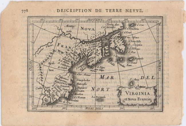
MapMaker: |
Hondius/Bertius
|
|
| |
| |
Subject: |
Colonial Northeastern United States & Canada |
|
| |
Period/Size: |
1618 / 3.8" x 5.4" (9.7 x 13.8 cm)
|
|
| |
Color: |
Black & White
|
|
| |
Condition: |
(B+) A nice impression with a hint of toning and a small, faint stain along bottom border. (condition help) |
|
| |
Source: |
Tabularum Geographicarum Contractarum… |
|
| |
References: |
Burden #185; King (2nd ed.) pp. 96-99; Cumming #31; Kershaw #51; Van der Krogt (Vol. III) #9200:342. |
|
| |
|
|
| Sales Information |
| |
| |
Price: |
|
|
| |
| |
Offered by: |
Old World Auctions |
|
| |
Catalog: |
Auction No. 150 - Antique Maps, Charts, Atlases & Globes (9230) |
|
| |
Lot/Item #: |
136 |
|
| |
| |
Date: |
09/2014
|
|
| |
| |
|