| Item Detail |
| |
| |
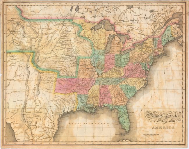
MapMaker: |
John Melish
|
|
| |
| |
Subject: |
Eastern United States |
|
| |
Period/Size: |
1822 / 17.0" x 21.5" (43.2 x 54.7 cm)
|
|
| |
Color: |
Colored
|
|
| |
Condition: |
(B) On watermarked paper with moderate offsetting. A centerfold separation that enters 1.5" into map at top and an edge tear at left that enters 1" into the image and have both been closed on verso with archival tape. (condition help) |
|
| |
Source: |
|
|
| |
References: |
cf. Wheat (TMW) #338. |
|
| |
|
|
| Sales Information |
| |
| |
Price: |
|
|
| |
| |
Offered by: |
Old World Auctions |
|
| |
Catalog: |
Auction No. 150 - Antique Maps, Charts, Atlases & Globes (9230) |
|
| |
Lot/Item #: |
153 |
|
| |
| |
Date: |
09/2014
|
|
| |
| |
|