| Item Detail |
| |
| |
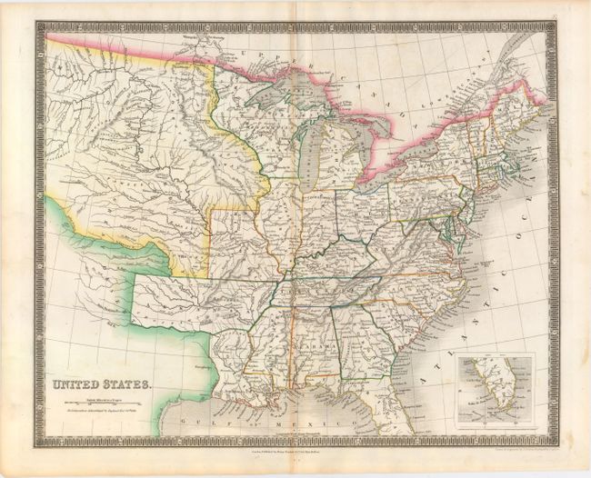
MapMaker: |
Henry Teesdale [& Co.]
|
|
| |
| |
Subject: |
Eastern United States |
|
| |
Period/Size: |
1837 / 13.0" x 16.0" (33.1 x 40.7 cm)
|
|
| |
Color: |
Colored
|
|
| |
Condition: |
(B+) Original color on watermarked paper (J. Whatman 1837) with light toning along the centerfold and two short separations confined to the blank margins closed on verso with archival tape. (condition help) |
|
| |
Source: |
A New General Atlas of the World |
|
| |
References: |
|
|
| |
|
|
| Sales Information |
| |
| |
Price: |
|
|
| |
| |
Offered by: |
Old World Auctions |
|
| |
Catalog: |
Auction No. 150 - Antique Maps, Charts, Atlases & Globes (9230) |
|
| |
Lot/Item #: |
157 |
|
| |
| |
Date: |
09/2014
|
|
| |
| |
|