| Item Detail |
| |
| |
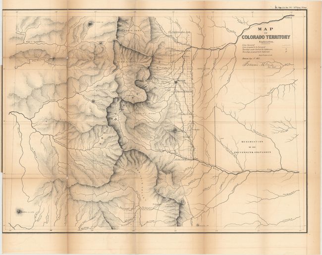
MapMaker: |
U.S. State Surveys
|
|
| |
| |
Subject: |
Colorado |
|
| |
Period/Size: |
1862 / 16.3" x 22.0" (41.4 x 55.9 cm)
|
|
| |
Color: |
Black & White
|
|
| |
Condition: |
(B) Issued folding with toning along the folds, faint offsetting, and numerous fold separations that have been closed on verso with archival tape. There is minute loss at two fold intersections and the left margin has been trimmed to just inside the neat (condition help) |
|
| |
Source: |
HR Ex. Doc. No. 1, 37th Cong., 3rd Sess. |
|
| |
References: |
Wheat (TMW) #1051. |
|
| |
|
|
| Sales Information |
| |
| |
Price: |
|
|
| |
| |
Offered by: |
Old World Auctions |
|
| |
Catalog: |
Auction No. 150 - Antique Maps, Charts, Atlases & Globes (9230) |
|
| |
Lot/Item #: |
222 |
|
| |
| |
Date: |
09/2014
|
|
| |
| |
|